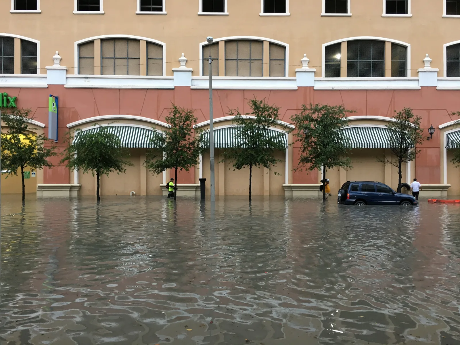
Radar showed 3 to 5 inches of rain over Boynton Beach by 7:29 p.m. Monday, Nov. 2. The flash flood warning ran to 8:45 p.m. and the flood watch ended at 11 p.m.
Updated Nov. 4: The weather has cleared. At 7:29 p.m. Monday the weather service extended the flash flood warning for eastern Palm Beach County, Boynton Beach included, to 8:45 p.m. It said radar showed 3 to 5 inches of rain had fallen, with 1 to 2 more inches possible. Later warnings that night covered southeastern Palm Beach County and northern Broward County, with Boca Raton, about 11 miles south, the nearest place named. The flood watch ran to 11 p.m. Monday and was not renewed. The coastal flood advisory ended at 7 p.m. Tuesday; our king tide report has the latest.
Updated Nov. 2, 6 p.m.: The National Weather Service in Miami issued a flash flood warning for eastern Palm Beach County, including Boynton Beach, at 5:27 p.m. Monday. It runs until 7:30 p.m. The flood watch was extended to 7 p.m. Monday, and the coastal flood advisory to 7 p.m. Tuesday. Details below.
The flash flood warning
The warning issued at 5:27 p.m. Monday covers eastern Palm Beach County until 7:30 p.m. The weather service said radar showed thunderstorms producing heavy rain. It said:
- 1 to 3 inches of rain had already fallen in the warned area
- rain was falling at 1 to 1.5 inches an hour
- another 1 to 3 inches was possible
- flash flooding was “ongoing or expected to begin shortly”
The places it named include Boynton Beach, Ocean Ridge, Lantana, Delray Beach, Lake Worth, Greenacres, Boca Raton and West Palm Beach. “Turn around, don’t drown when encountering flooded roads,” the weather service said. “Most flood deaths occur in vehicles.”
A warning means flooding is happening or about to. It is a step above the flood watch.
Rain so far
The weather service’s 24-hour rainfall report at 9:29 a.m. Monday listed these readings in and around Boynton Beach, to about 8 a.m.:
| Station | Rain |
|---|---|
| Boynton Beach Community High School | 1.62 inches |
| 1 mile east of Boynton Beach | 1.37 inches |
| Pine Tree Golf Club, 1 mile southwest | 1.94 inches |
| Station CW0029, 2 miles southwest | 2.02 inches |
| Lantana (storm total) | 1.77 inches |
| Delray Beach Fire Rescue headquarters | 2.58 inches |
The heaviest rain fell farther north. A station 3 miles west of Riviera Beach recorded 15.54 inches. The weather service noted that its list includes volunteer and private stations and that “not all data listed are considered official.”
The watch, extended
The weather service extended the flood watch at 11:59 p.m. Sunday. It now covers all of South Florida until 7 p.m. Monday. The update said “pockets of very heavy rainfall resulted in localized flash flooding on Sunday.” It expected common amounts of 1 to 3 inches Monday, 3 to 5 inches in scattered places and isolated totals of 6 to 9 inches, falling “on the order of 2 to 4 hours.”
How the weekend began
The first flood watch was issued Sunday. The National Weather Service in Miami said 3 to 5 inches of rain could fall in places along the east coast through Monday.
Isolated spots could get 5 to 7 inches, the weather service said, and that rain “may fall over a window of a few hours.” The watch covers all of Palm Beach County, from the coast to the inland areas west of the city, and Broward and Miami-Dade counties.
It comes on top of a week of tidal flooding. A coastal flood advisory for coastal Palm Beach County now runs until 7 p.m. Monday. Our report on the king tide flooding has the tide gauge readings since Oct. 24.
What the weather service expects
The Sunday watch was issued at 12:49 p.m. Its alert for coastal Palm Beach County warns of “isolated to scattered” flash flooding. The main impact would be:
- street flooding
- road closures
- “limited impact to structures in flood prone areas”
The weather service said “uncertainty is high regarding exactly where the highest rain amounts will fall.” It added that the impact “could be greater than forecast if the heaviest rainfall occurs near the coast during times of high tide.”
A watch means flooding is possible. The weather service would issue a flood warning if it becomes likely or is happening.
The forecast, period by period
These are the rain amounts in the weather service’s forecast for Boynton Beach, as published Monday afternoon:
| Period | Chance of rain | New rain possible | Wind |
|---|---|---|---|
| Monday night | 70% | Half an inch to three-quarters of an inch | East 8 to 12 mph, gusts to 22 mph |
| Tuesday | 60% | A quarter to half an inch | East around 12 mph, gusts to 20 mph |
| Tuesday night | 40% | Not given | East 6 to 9 mph, gusts to 18 mph |
Storms are most likely before 3 a.m. Tuesday and again between 7 a.m. and 4 p.m. Tuesday, the forecast said. That is the window when polls are open on Election Day.
Showers and thunderstorms are in the forecast for each period.
The tide alerts still in effect
The weather service updated its coastal alerts at 3:20 p.m. Monday:
| Alert | What the weather service expects | Until |
|---|---|---|
| Coastal flood advisory | Minor to moderate coastal flooding | 7 p.m. Tuesday |
| High rip current risk | Dangerous rip currents | 7 p.m. Tuesday |
The high surf advisory ended at 7 a.m. Monday. The coastal flood advisory expects “flooding of lots, parks, and roads with only isolated road closures.”
These are NOAA’s predicted high tides at its Boynton Beach station on the Intracoastal Waterway:
| Day | High tide |
|---|---|
| Monday, Nov. 2 | 3:13 a.m. and 3:55 p.m. |
| Tuesday, Nov. 3 | 4:24 a.m. and 4:56 p.m. |
On Sunday the nearest tide gauges peaked around the early afternoon high tide. The Lake Worth Pier gauge, about six miles north, read 1.63 feet at 12:48 p.m., minor flood stage. The Intracoastal Waterway gauge at Deerfield Island Park, about 15 miles south, read 1.88 feet at 1:54 p.m., moderate flood stage. Both were lower than on Saturday.
On Monday the two gauges peaked lower again. Lake Worth Pier read 1.47 feet at 2:18 p.m., minor flood stage. Deerfield Island Park read 1.74 feet at 2:42 p.m., just above the 1.7-foot moderate flood stage.
What the city has posted
The city’s alert center listed no active alerts Sunday evening or at about 6 p.m. Monday. We will add the city’s own notices here if it posts any about road closures, sandbags or flooding.
What it means for you
- Stay off flooded roads Monday evening. The flash flood warning runs until 7:30 p.m. Do not drive through water of unknown depth or around barricades, the weather service said.
- Plan around the high tides. The weather service said the impact could be greater if heavy rain falls near the coast at high tide. Tuesday’s are 4:24 a.m. and 4:56 p.m.
- Watch for a new warning. The weather service told people in flood-prone areas to “be prepared to take action” if flooding develops.
- Stay out of the ocean unless you are an experienced swimmer. The rip current risk runs until 7 p.m. Tuesday. Swim only near a lifeguard.
- Election Day is Tuesday. Storms are likely during voting hours. Our early voting and Election Day guide has the details.
For outages, see our power outages page. For storm planning, see hurricane prep in Boynton Beach.
Have your say